QUICK DETAILS:
Route: Hoi An → Son Tay → Mang Den → K50 waterfall → Kontum → Kham Duc → Hoi An
Distance: km (main route)
Duration: 4 days 3 nights
Scenery: mountains, jungle, rivers, valleys, waterfalls, highland
Attractions: spectacular views, great riding, stream, waterfall, trocial forest,..
Road Conditions: mostly good, smooth, paved roads, generally light traffic
Best Time: January → June (dry season)
Cost:
SECTIONS:
Section 1: Hoi An→ Tam Ky → Tra Mai → Son Tay → Mang Den | 240 km
Section 2: Mang Den center→ K50 waterfall (Kon Chư Răng Nature Reserve) | 60km
Section 3: Mang Den → Kontum → Kham Duc | 230 km
Section 4: Kham Duc → Hoi An | 120 km
Hoi An to Mang Den by motorbike & Discover Breathtaking K50 waterfall
For a long time, conquering the K50 Waterfall has been a dream of mine. This time, I will have the opportunity to fulfill this dream together with my family. This journey is just a small part of our Tay Nguyen road trip adventure, which I will gradually share through blog posts on this website, so follow us to be updated.

Section 1: Hoi An→ Tam Ky → Tra Mai → Son Tay → Mang Den
Our group consists of 5 adults and 1 5-year-old child. My parents and my daughter will be driving car, while my wife and I will be riding motorbikes (Yamaha NVX 155cc).

Firstly, having the necessary gear and supplies is so important when embarking on a motorcycle adventure, especially in a mountainous region like Central Vietnam. Here is some needed stuff we bring along the trip:
Good helmets with visor
Rain gear, sun glasses
Some Spare parts (e.g. tires, tubes, spark plugs)
Vacuum bottle ( it is really useful for us, we fill it with full ice then we can drink cold water anytime we want in this hot weather)
After refueling with a breakfast of bread and coffee, we set off at 8:30 am. Leaving Hoi An, we headed towards the Cua Dai Bridge, passing through Duy Xuyen, and arrived at Tam Ky city.
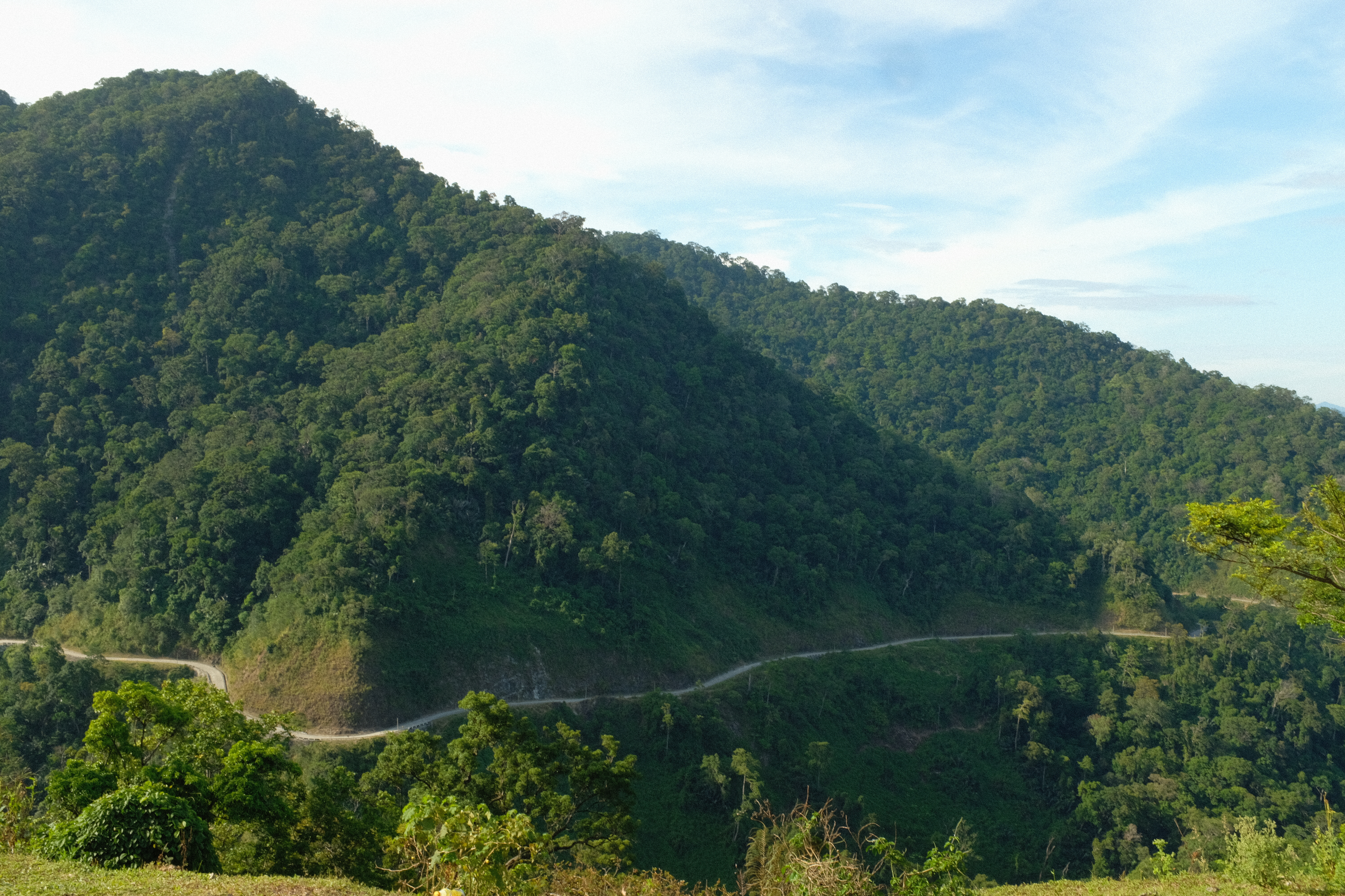
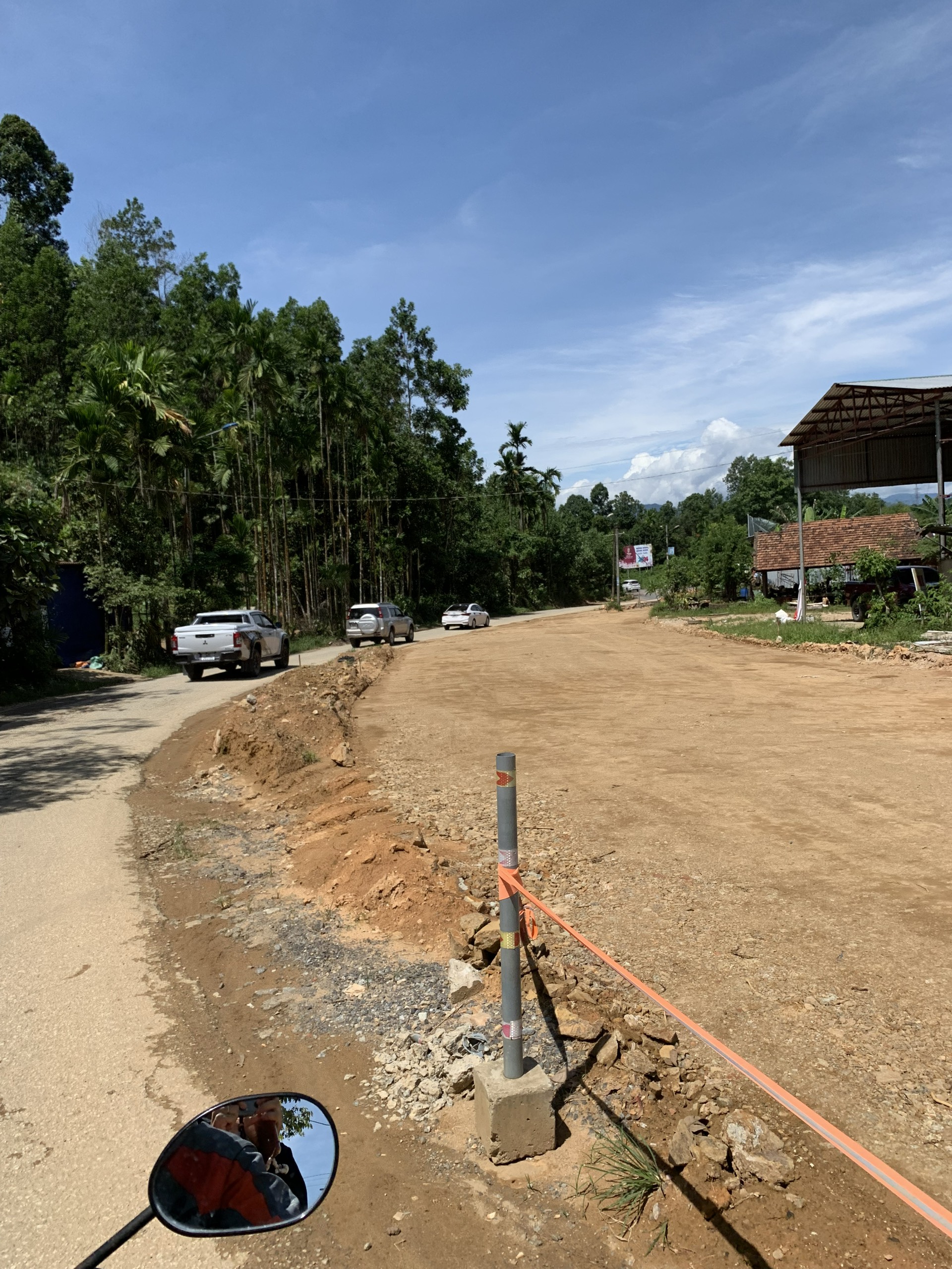
We drove on very wide and beautiful roads, gradually revealing the lush green rice fields and undulating mountains. The pass road at Bac Tra My had many bends, with some sections under repair, but this did not significantly impact our journey.
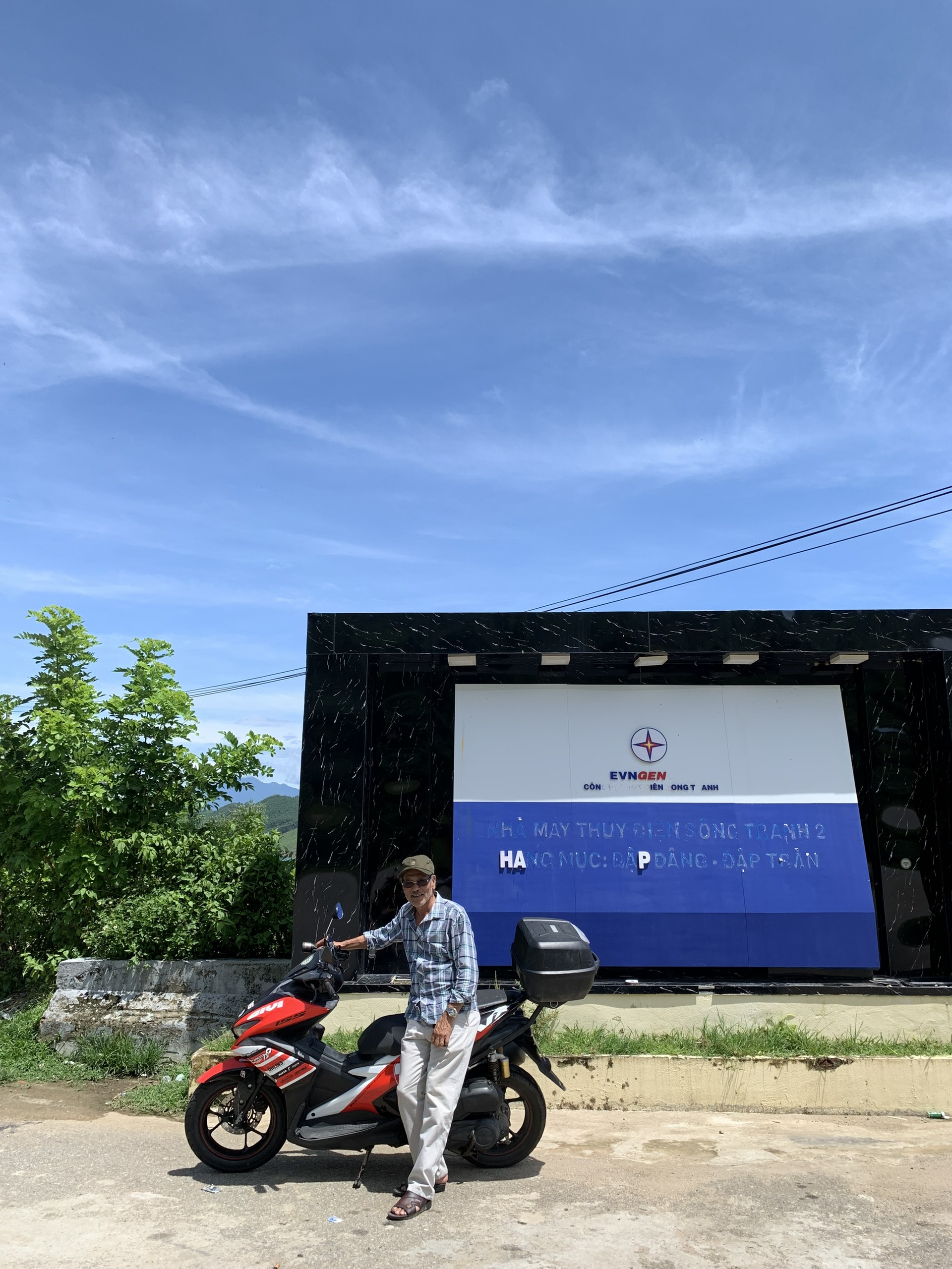
At 10.30 am, we planned to stop at the Song Tranh Hydroelectric damp to rest and take photos, but unfortunately, it was closed today, so we could not go inside. We will continue driving to find a place to rest and have lunch.
As we climbed higher, the road became increasingly winding and there were fewer people around. The bright sunshine gradually gave way to fast-moving dark gray clouds, suggesting an approaching shower. We felt a little concerned, but also enjoyed taking in this scenic view.


The heat began to subside, and a cool breeze blew. The dark clouds gathered and multiplied. My wife and I stopped to put on our raincoats, feeling assured to continue our journey.
The rain started pouring down, but fortunately it only lasted about 10 minutes before clearing up.
After driving about 30km more, we arrived in Son Tay, Quang Ngai. It was already 1 pm, and many restaurants were already closed. Luckily, we looked up on Google Maps and found Ba Hung Restaurant.
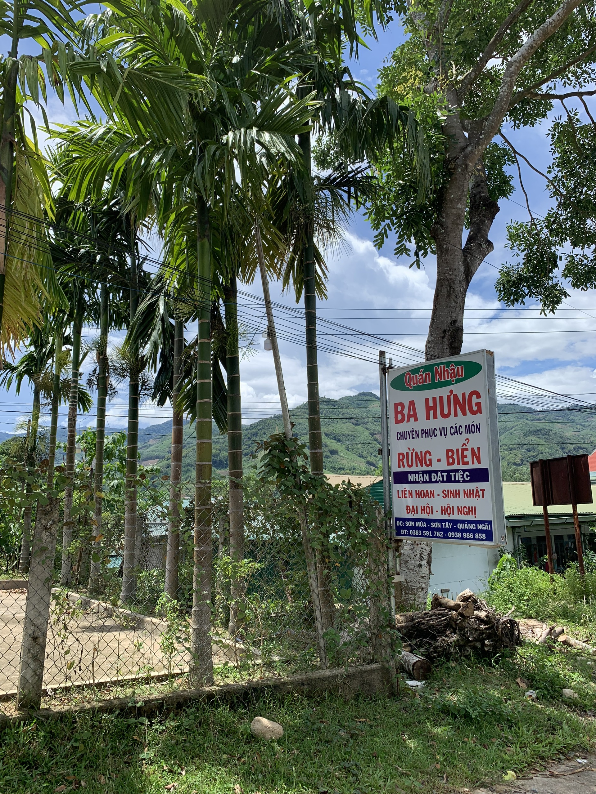
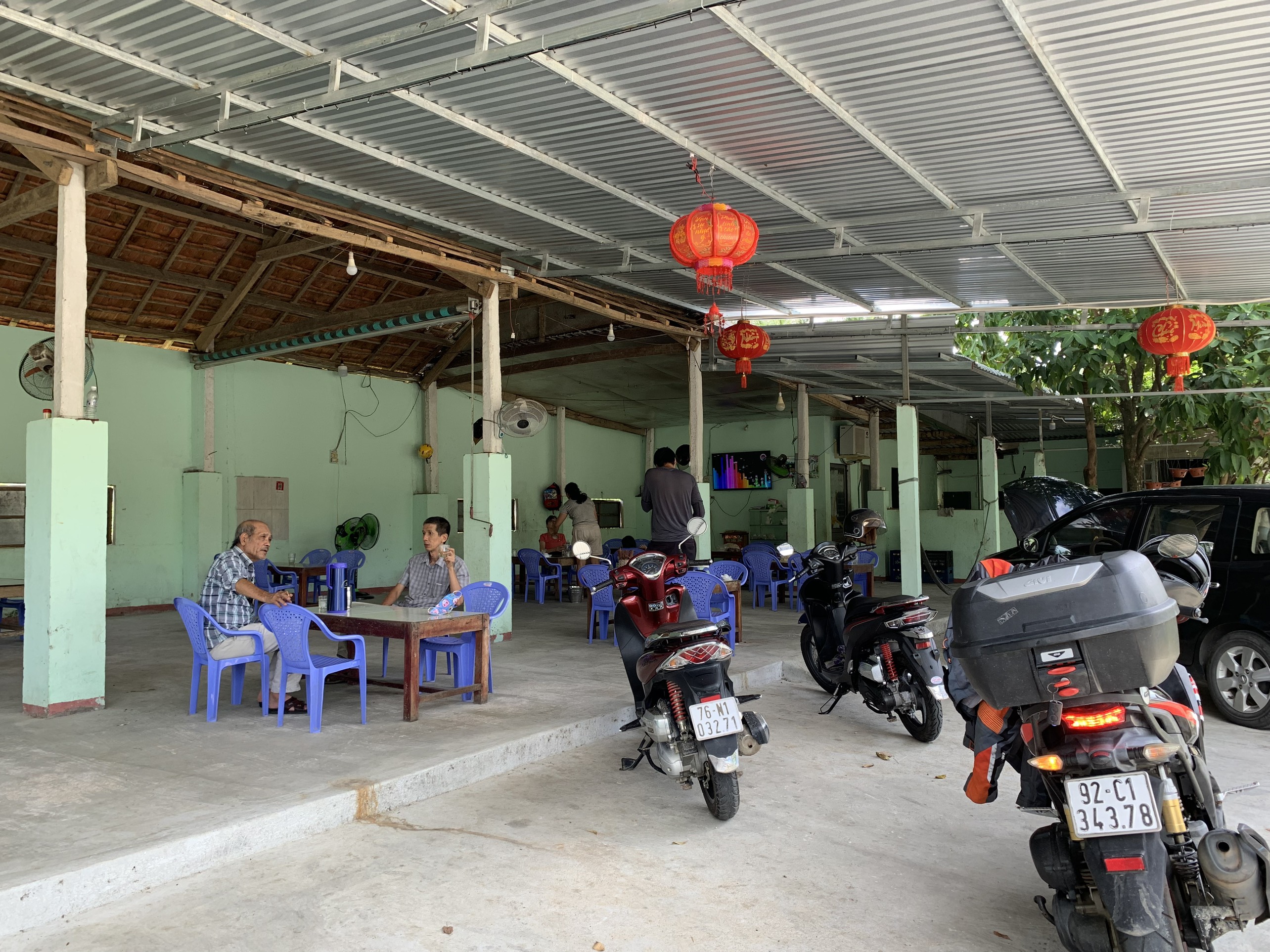
The restaurant had a spacious and airy environment with a garden area and a large parking lot for our car.
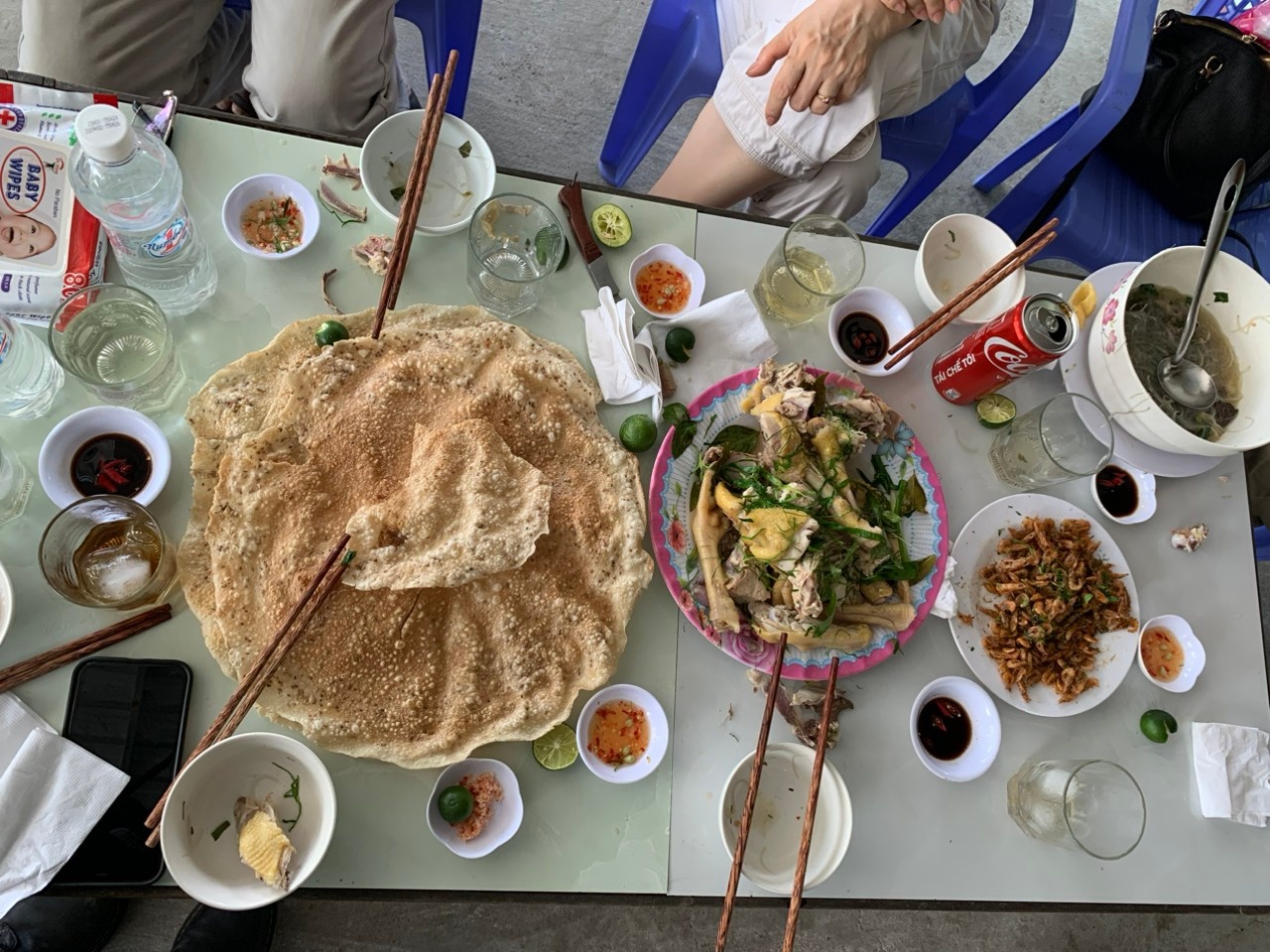
Our simple lunch consisted of stir-fried shrimp, grilled rice paper, boiled chicken, and mung bean noodles. The food was very delicious, and our whole family ate our fill for 580,000 VND.


At 2:30 pm, we continued our journey, driving straight for 70 km to reach Mang Den. The scenery along the way was truly stunning. Driving and taking in the pristine scent of the forests and mountains made me think of the famous quote "Happiness is not just the destination, but the journey itself."


By 5pm, the air starts to get colder, only around 20 degrees Celsius, a sign that you have arrived at the Mang Den Highlands. We then proceed directly to the Vita Homestay, where my wife had booked in advance for 400,000 VND per room with 2 beds. It is a fairly spacious old house, located in the middle of a pine forest, just about 5 minutes drive from the city center. Everyone checks in and arranges their belongings.
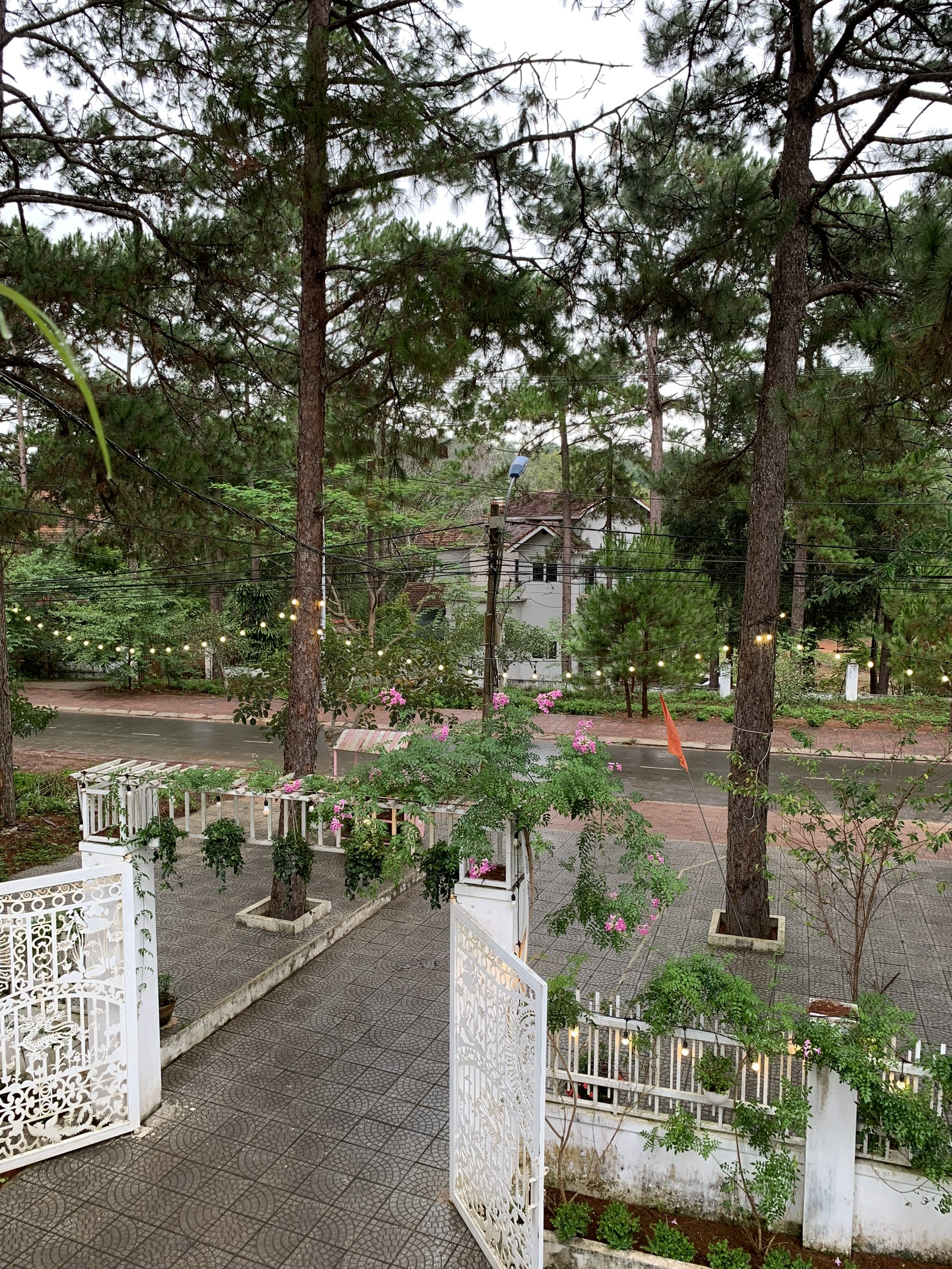
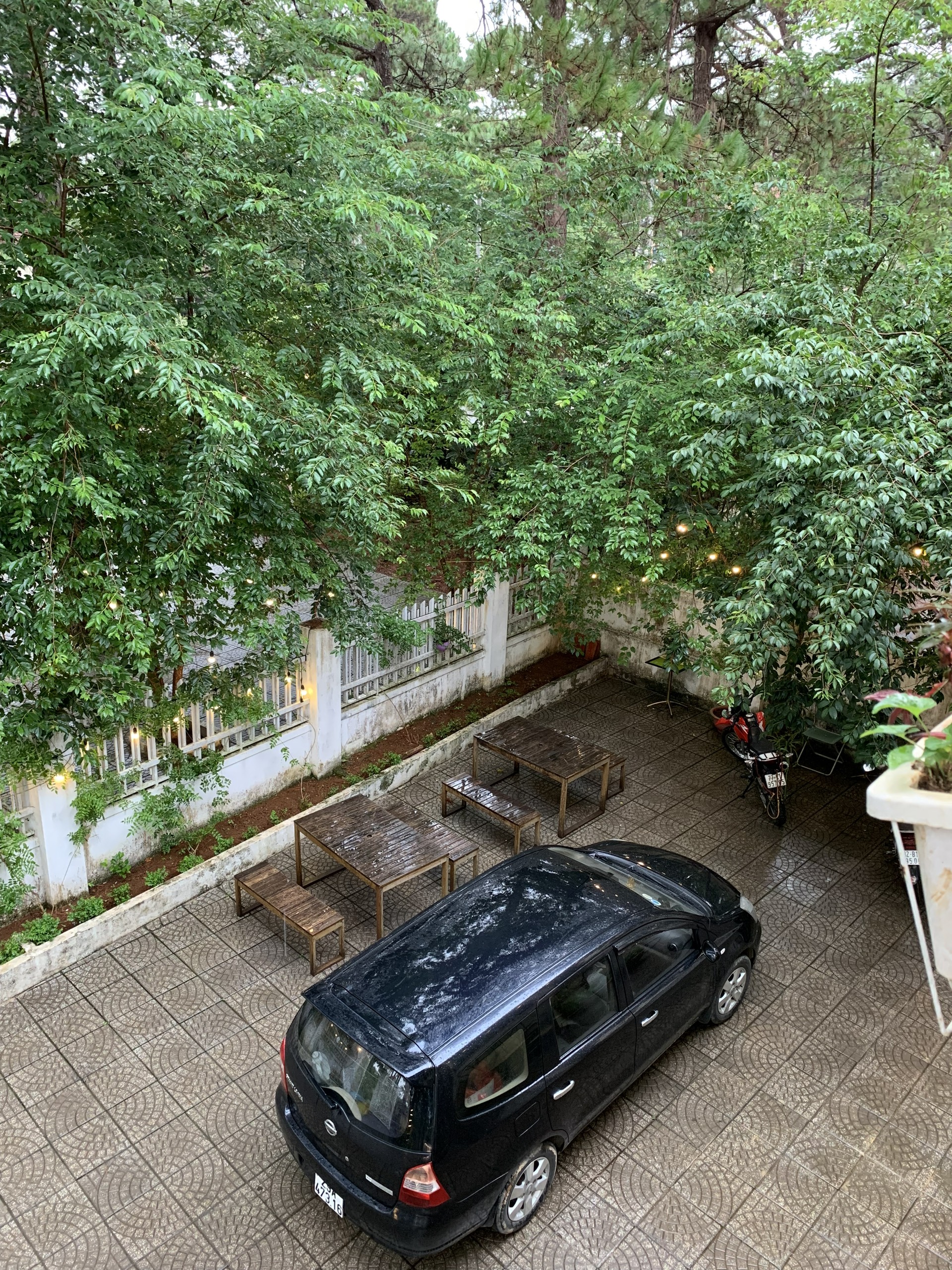
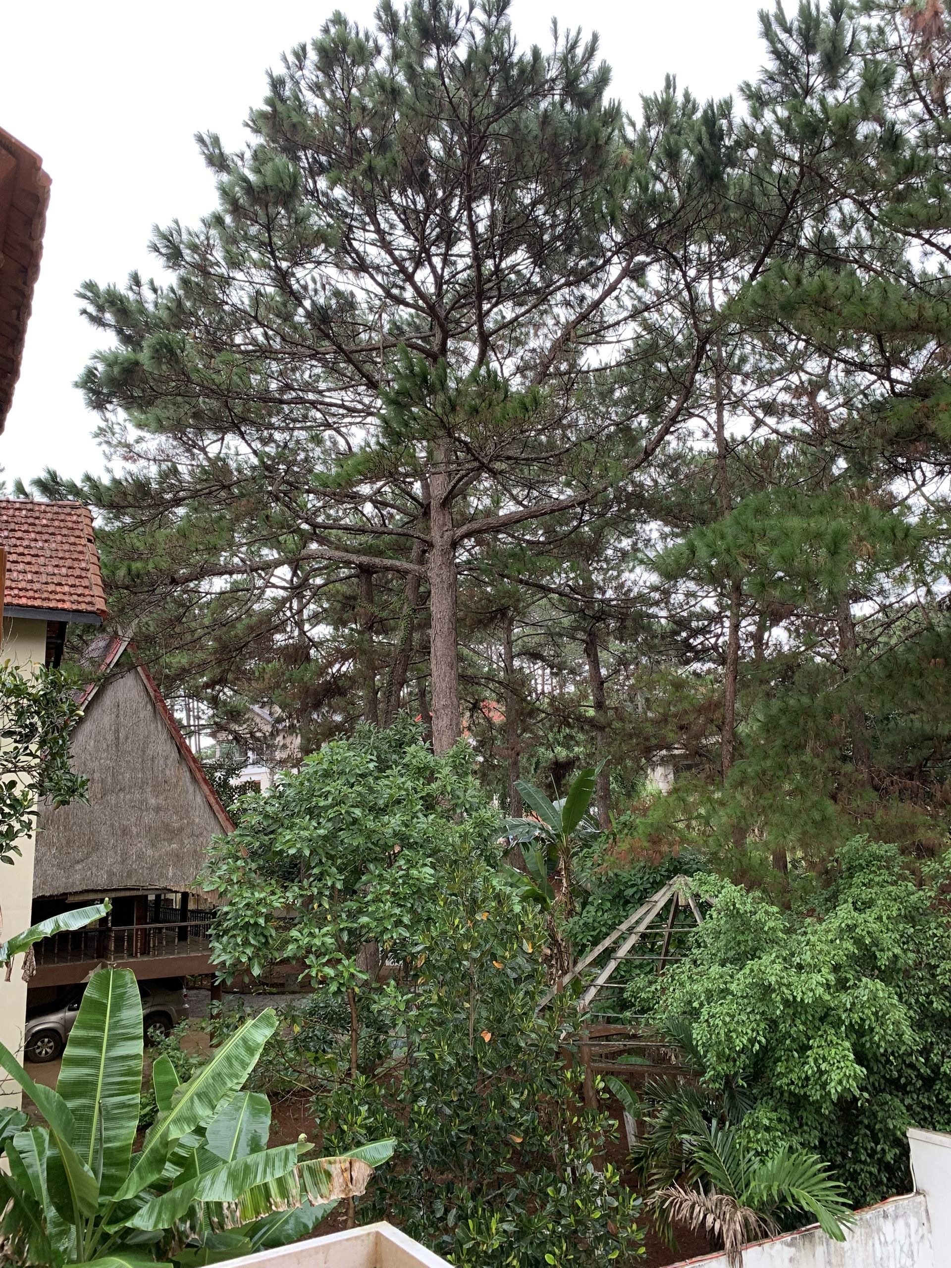
The room equipment includes basic necessities such as a bed, fan, hair dryer, clothes hanger, and the bathroom has a bathtub. Please note that you will have to pay the full amount right after check-in. After a long day of driving, it's wonderful to lie back on the bed and gaze out the window at the pine forest shrouded in mist...
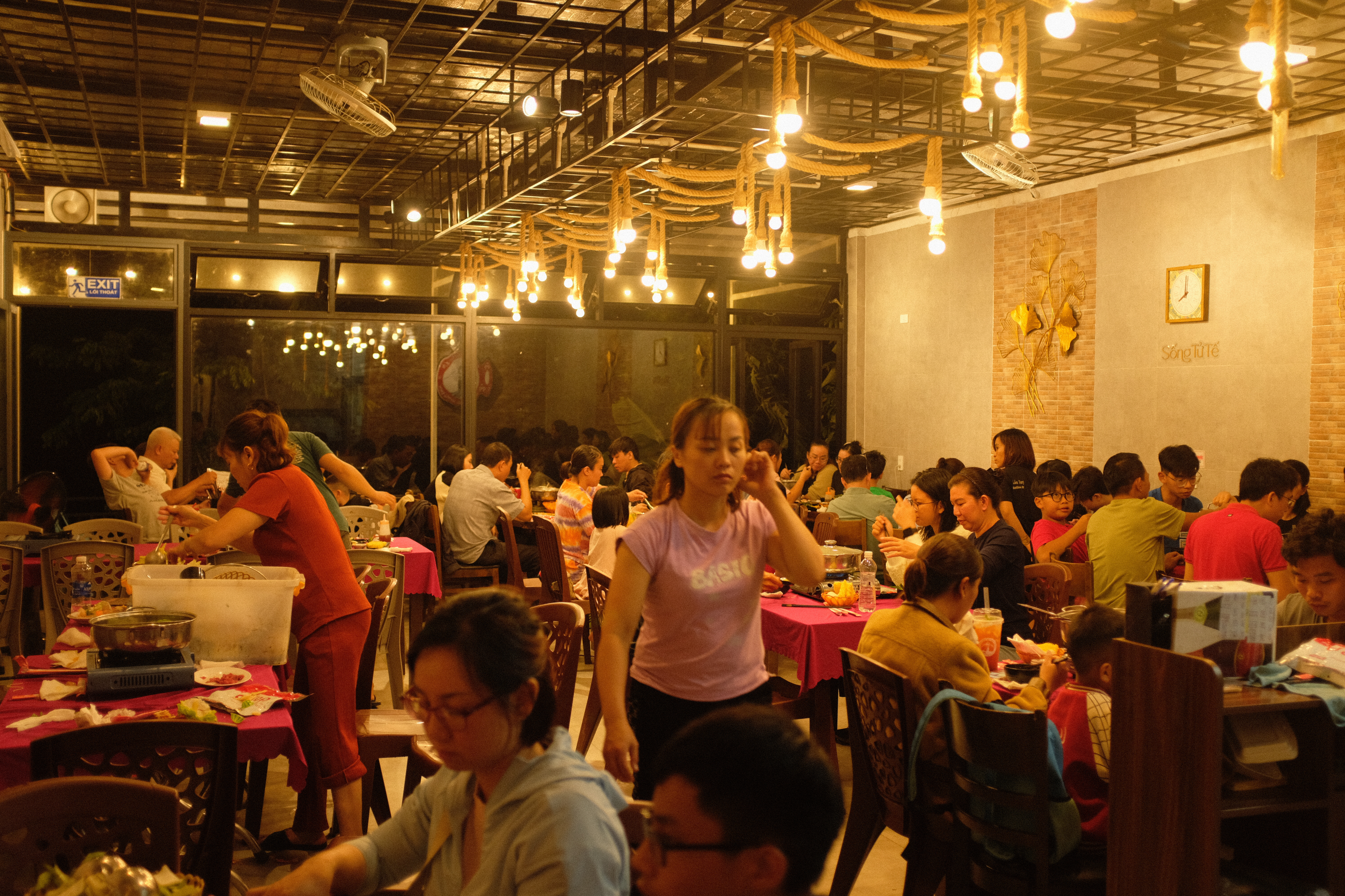
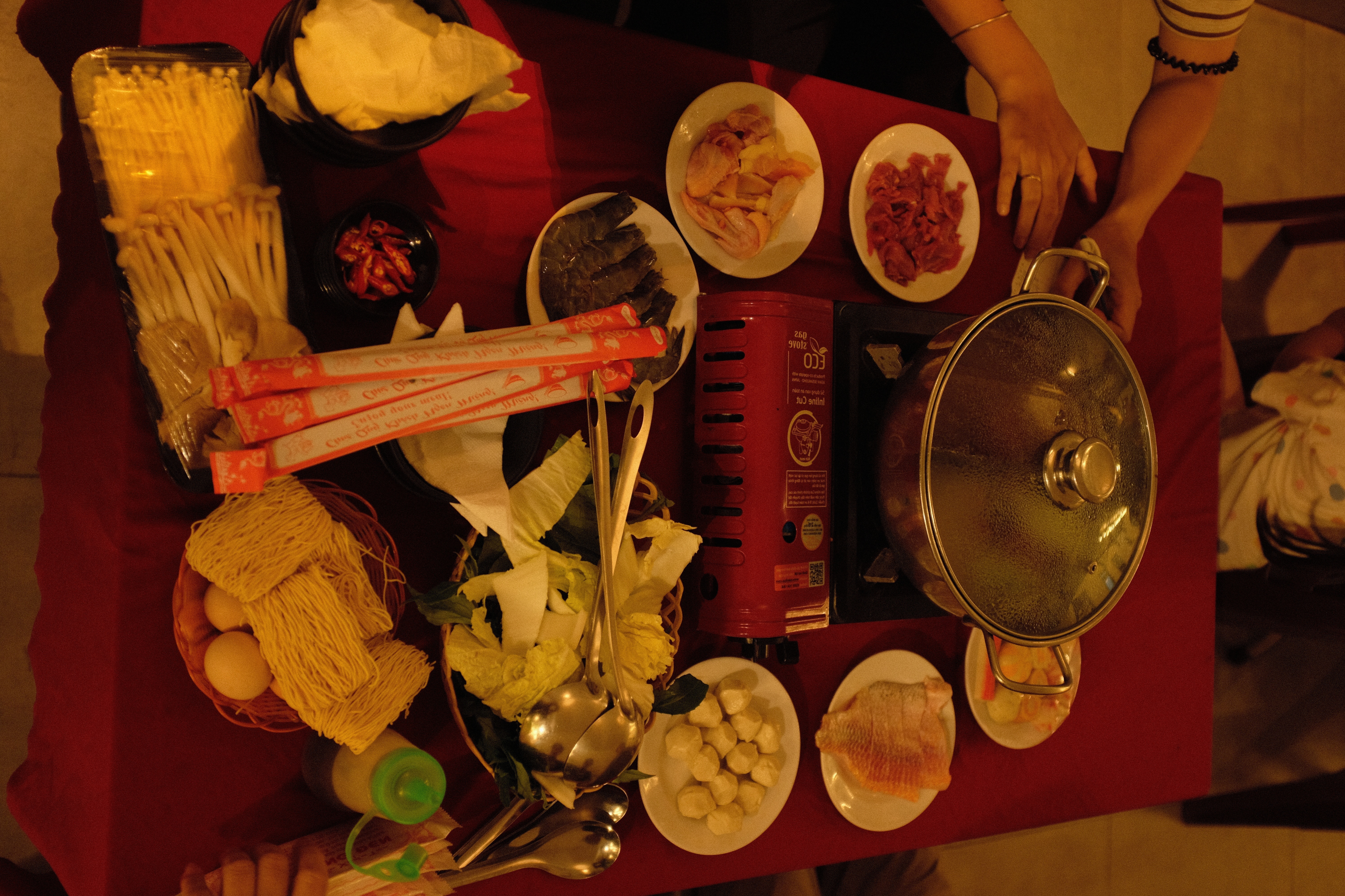
At 7 pm, it is time for dinner, nothing could be more suitable than a steaming hot pot , accompanied by the famous Vietnamese Wineberry wine at Mang Den. We then head to the "Măng đen lữ quán" restaurant and enjoy a cozy dinner, sharing stories about the day's journey.

After finishing our dinner, we headed straight back to the hotel to rest early in preparation for the waterfall exploration trip early tomorrow morning.
Section 2: Mang Den center→ K50 waterfall (Kon Chư Răng Nature Reserve)
The K50 Waterfall is a stunning natural attraction located in the Central Highlands region of Vietnam. It is situated near the town of Mang Den in Kon Tum province. It is reported that the name "K50" comes from the map code used by the Vietnamese military. In this map, all geographical locations were assigned numeric codes, and "K50" was the code assigned to this waterfall.
Nowadays, the name "K50 Waterfall" is widely used by people, due to the fact that the waterfall has a height of 50 meters.
The waterfall also has another name, which is "Hang En Waterfall", originating from the large number of swiftlets that nest inside the waterfall's cave. This is a very wide cave entrance with lush green vegetation.
The K50 Waterfall is characterized by its three distinct tiers that cascade down a series of rocky cliffs. The water flows over the ledges, creating a mesmerizing visual display as it tumbles down.

Carefully preparing for the K50 Waterfall Exploration Trip:
Fill out the registration form with the Kon Chu Rang Nature Reserve Management.
Wear long-sleeved clothing, a hat, and sports shoes. Bring a rain jacket.
Prepare light snacks and drinking water.
Bring insect repellent and bandages.
Avoid bringing too many unnecessary items, as you will need to hike through the forest and up steep slopes, which can be tiring.
After thoroughly preparing all the necessary items for this forest trip, we drove 60km to the Kon Chu Rang Nature Reserve. A team of 5 people led by Mr. Hung, with 5 motorbikes, was ready to take us to the waterfall. Mr. Hung gave us an overview of the itinerary: we would ride the motorcycles for about 20km (with some steep sections), then continue trekking for around 700m (through a winding forest trail with many ups and downs) until we reach the base of the waterfall. We would start our return journey around 2 pm. Everyone was very excited and a bit nervous about the journey ahead.
We wore our helmets and headed deeper into the forest. The tour guides introduced this section of the road, which has now been paved with concrete, making it much easier to traverse compared to the past. During the dry season, it's more manageable, but the dirt road and moss can be very slippery in the rainy season.
For the first 5km, the road remains quite wide and flat, around 10m in width. We sat behind the guides, marveling at the pristine, lush forest that surrounded us on both sides as we went deeper. The road gradually narrows to around 5m, with more winding, steep sections, and the vegetation becoming increasingly dense.
Amid our captivation with the scenic surroundings, we suddenly heard the long screeching of motorcycle brakes - we had reached the "quite scary" turns and slopes that the guides had mentioned earlier. The bikes constantly charged down and then back up the steep inclines. It truly demanded skilled and experienced riders to conquer this section. After around 45 minutes, we all arrived safely, ready for the final 500m trekking to the waterfall.
The 500m road is not too long, but there are some fairly tiring uphill sections. Everyone is excited and moving quickly to catch a glimpse of the waterfall. My daughter suddenly calls out "Dad, I can hear the sound of the water flowing!"
As we emerged from the forest, the K50 Waterfall came into view, creating a truly awe-inspiring scene. The water gushes forth from high above, cascading down the deep chasm below in a grand and powerful flow. Countless droplets splash up, reflecting the sunlight and shimmering like diamonds. Although the journey to reach this waterfall was quite arduous, Mang Den Discovery assures you that the reward upon arriving is completely worth it. The forest path leading to the waterfall is also very beautiful, with a rich and diverse vegetation.
The area at the base of the waterfall is wide open, with jagged rocks and clear, tranquil pools. The K50 Waterfall is like a living masterpiece, with the emerald green of the water, the reddish-brown of the rocks, and the surrounding lush green canopy. The thunderous, echoing sound of the falling water creates a majestic melody, filling one with a sense of the vibrant, natural energy.
Standing before the K50 Waterfall, one can truly feel the grandeur, strength, and primal beauty of nature. This is undoubtedly one of the most beautiful and impressive waterfalls we have ever witnessed.
After a while of taking photos and grabbing a light snack for lunch, Mr. Hung led us to climb up to the top of the waterfall where the water was calmer and less turbulent. Immersing ourselves in the refreshingly cool stream was simply wonderful. While waiting for my family to swim, Mr. Hung's group had managed to catch a few fish and a jar full of snails.
Around 2 pm, our group started heading back, concluding our memorable expedition to explore the K50 Waterfall, filled with a range of unforgettable experiences and emotions. Although the journey to reach this waterfall was quite arduous, Mang Den Discovery assures you that the reward upon arriving is completely worth it. The forest path leading to the waterfall is also very beautiful, with a rich and diverse vegetation.
Upon returning to the Mang Den center, it was around 5 pm. We stopped by the "De Mang Den" café to rest and take in the setting sun, sipping on our coffee and basking in the sunlight filtering through the pine forest canopy.
After returning to the homestay to freshen up, at 7 pm we went to the "Hoa Sim" restaurant to have roasted chicken. The food was truly delicious, including the roasted chicken, sticky rice (rice roasted in a bamboo tube with a coconut aroma), stir fry wild vegetables, and sour fish soup. The evening in Mang Den are also quite quiet, with most shops and restaurants closing fairly early.
Section 3: Mang Den center → Mang den pass → Kontum → Kham Duc
Our journey today will cover 230 km. Leaving the center of Mang Den town, we drove along beautiful roads lined with pine trees. We followed National Route 24 to the Mang Den Pass. The weather today was lovely, with the sun not too harsh. As we drove higher, the peaceful town of Mang Den gradually became smaller. I will definitely return to explore more places here.
We began our drive 60 km to the famous stop in Kontum: the over-a-century-old wooden church.
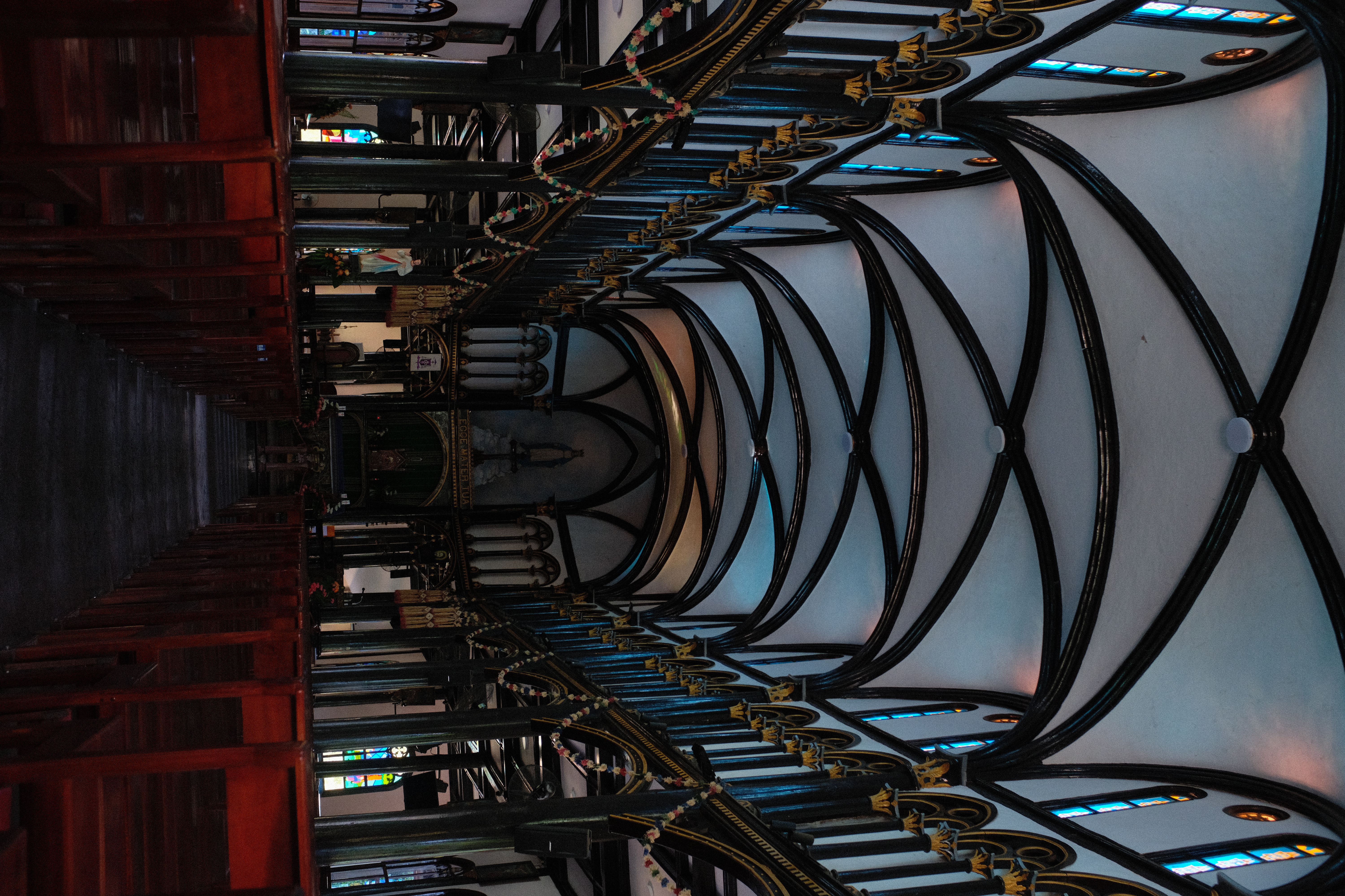
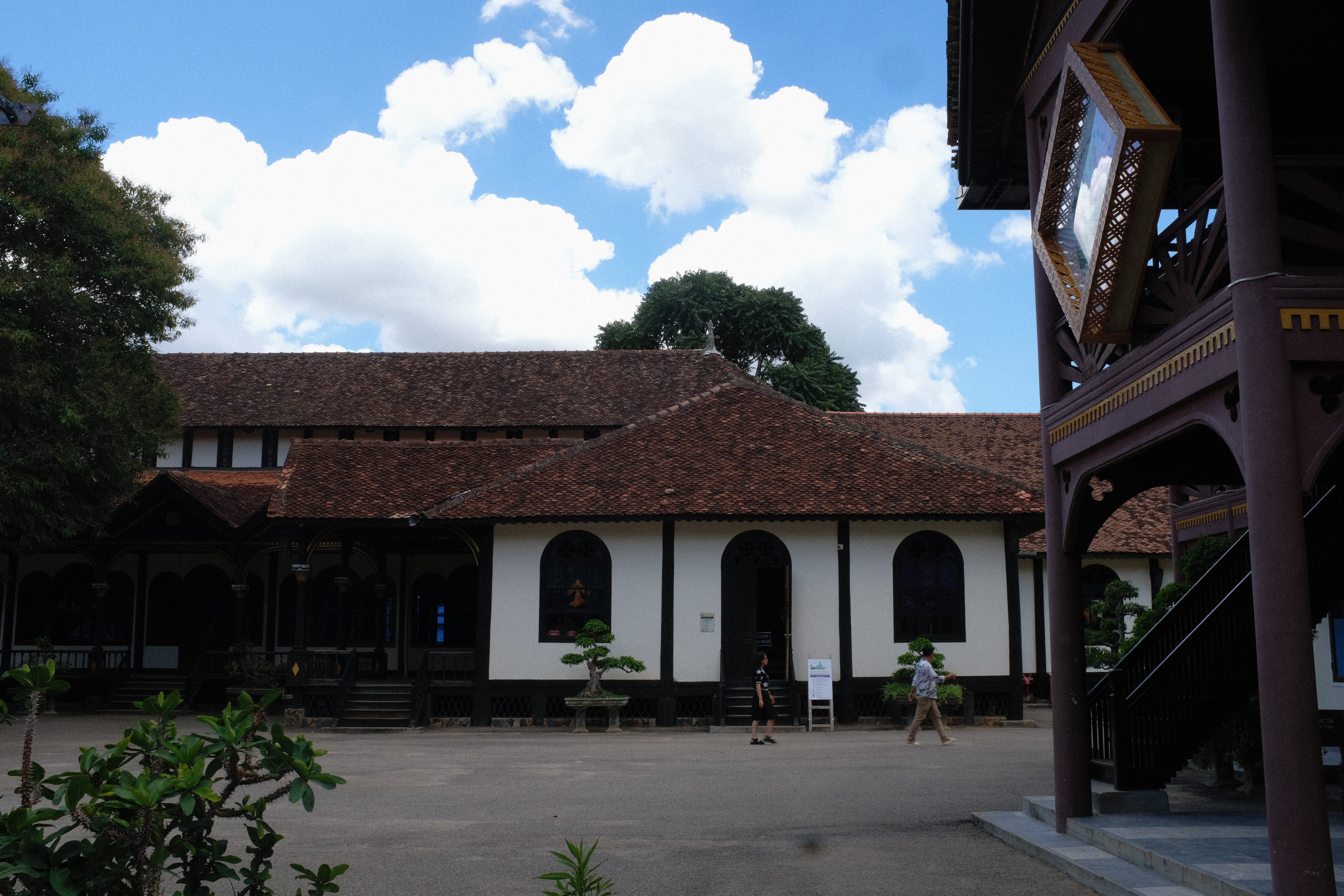
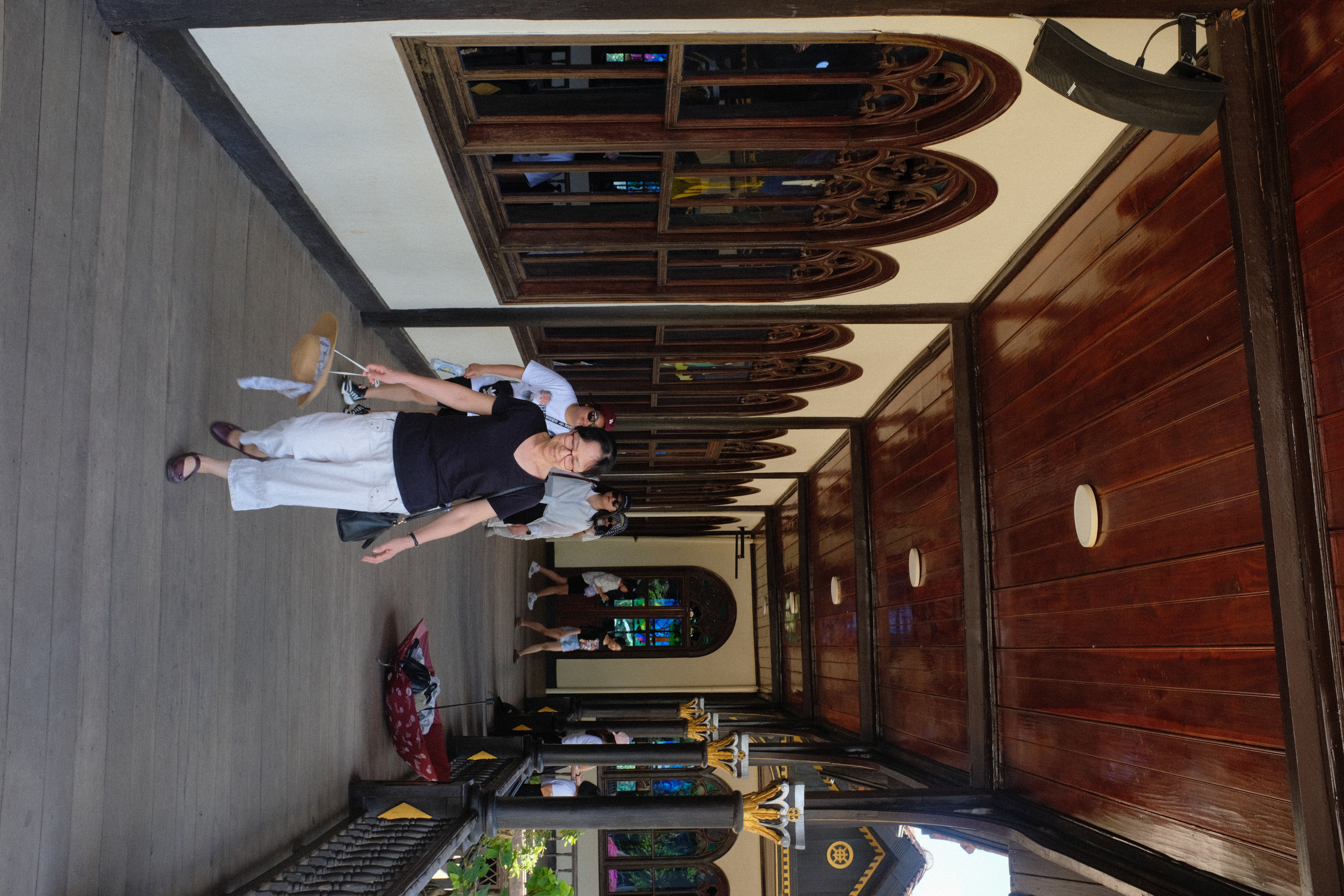
The Kon Tum Cathedral, a treasure nestled among the vast mountains of the Central Highlands, is a unique religious architectural masterpiece with a history spanning centuries, a source of pride for the people of Kontum.
The church is located on Nguyen Hue Street, Kon Tum City, Kon Tum Province, and was built in 1913, completed in 1918, and still stands today. The Kon Tum Cathedral was designed and initiated by a French priest. Its architecture harmoniously blends Roman style with the wooden stilt houses of the Ba Na people, creating a distinctive fusion of Western culture and the rich ethnic identity of the Central Highlands.
The materials used to build the church were entirely made from the finest wood available at the time. Cà chít (red sến) — a type of wood characteristic of the Central Highlands — was primarily used in its construction. Through the skilled hands of artisans from Bình Định, Quảng Nam, and Quảng Ngãi, the structure was erected, with the wooden panels joined together using mortise and tenon joints, without any nails. The church is a wooden masterpiece and the only remaining Basilica-style building of its kind in the world.
Kontum still has many things to explore, but unfortunately we still have a long way to go before reaching the next destination, Kham Duc Town. So we have been traveling along the Truong Son East Road to reach Mang Den from Hoi An, now we will turn back to Hoi An via the legendary Ho Chi Minh Road along the Lao border.
From Kontum, you will travel along National Highway 14E (Ho Chi Minh Road) to the town of Ngoc Hoi. At a distance of over 100km, Ngoc Hoi can be a good place for you to rest and have lunch. If you depart early enough and don't stop too often, you can travel from the center of Ngoc Hoi to the Bo Y Border Gate to visit the border marker of the three countries of Vietnam - Laos - Cambodia.
This detour will add about 80km to your journey, which is quite far, so we did not go there on this trip.
After resting and having lunch at the center of Ngoc Hoi District, we continued to drive along National Highway 14E towards Kham Duc. About 75km later, you will reach Lo Xo Pass, one of the most famous and beautiful passes in the Central Highlands, crossing a pristine forest area.
The Lò Xo pass, while beautiful with the primeval forests and mountains on both sides, is also quite dangerous due to its long, steep slopes and some rather unexpected hairpin turns. When driving through the Lò Xo pass, you should be careful, check your brakes and steering system... Avoid driving through the pass at night. If it's raining or there is thick fog with poor visibility, drive slowly and cautiously.
After more than 30 km on the winding pass, we arrived at the town of Khâm Đức, a small town located on the Ho Chi Minh Highway. We will stay here overnight, enjoy the mountain and forest atmosphere, and may also visit the large Dak Mi hydroelectric reservoir nearby.
Section 4: Kham Duc → Hoi An
The next day, we still have 120 km to go to reach Hoi An. Driving straight, it would take us about 2 hours to complete the journey. If you want to extend the trip, you can drive to Cau Tra Linh, from where you can load your motorcycle onto a local boat and have them ferry you across to Hon Kem Da Dung, a beautiful location in Quang Nam province.


The boat ride takes about 30 minutes and takes you across a river flowing between tall mountains. During the trip, you can ask the boat operator to stop so you can jump into the deep, refreshing, and clear waters for a swim. After the boat ride, we get back on land and continue our journey through Que Ninh and Que Phuoc, heading towards the My Son Sanctuary.

The My Son Sanctuary is a site that should not be missed if you have not been there before. It is the most sacred place of the Cham people, part of the ancient Champa Kingdom. There, the relics of an ancient nation are still preserved and restored. It will take about 1.5 hours to tour the ruins and enjoy the beautiful Champa dance performances. This place is sure to impress you. After leaving My Son, it's only about 1 hour to reach Hoi An. On the way, less than 10 km from Hoi An, there is a cafe located in the middle of rice fields - a perfect place to rest one last time before concluding the trip.

The cafe is situated amidst the rice paddies, with a bamboo walkway leading to an old brick kiln... the air is fresh and comfortable. Their fragrant rice smoothies made with locally-grown ingredients are a must-try. After this final stop to rest, we set off for Hoi An over the beautiful Cam Kim Bridge, crossing the river. The ancient town of Hoi An soon comes into view along the riverbank. A wonderful journey has come to an end, leaving us with a stronger connection to nature, people, and the true beauty of life.
Thank you for following the blog. See you in the next adventure!
Trace Travel Team

